2005–2011
B.A., Business Administration
University of Jordan — the business foundation everything else was built on.
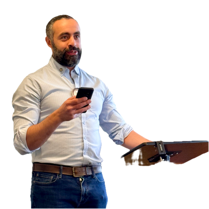 Mohamad Yassin
I build cloud-native geospatial systems and decision tools — open data infrastructure, operational analytics, and research-driven prototypes for the public good.
Apps, packages, dashboards, open-source.
Stories, methods, research, opinions.
Talks, demos, tutorials, interviews.
Curated code + datasets.
The story so far.
2005–2011
University of Jordan — the business foundation everything else was built on.
2012–2015
Amman, Jordan
Management consulting — feasibility studies and ISO 9000 quality-management reviews — then Technology, Media and Telecoms market research across MENA, publishing 2 custom reports and hundreds of syndicated research notes. I learned how big institutions really work.
2018–2019
Washington, DC
A laptop, the R language, and a corner table at Compass Coffee in Georgetown. No bootcamp, no CS degree — just conviction that the future belonged to the data-fluent.
2019–2020
Databases, statistics, decisions from data — meant as a bridge into IT service management.
2020
Certified and ready to step into enterprise IT.
2020
Lockdown
Days after certifying, COVID-19 erased the plan — and the job market with it. Lockdown became a productive stretch.
2020
An end-to-end chatbot build, written up as a 26-page technical report (September 2020). Proof I could do this.
2020–2021
Hundreds of course hours later, I shipped a production NLP pipeline in my first AI role.
2021
In Eric Koester’s book-writing course was a turning point. I developed a manuscript on AI from 40+ interviews with pioneers, working alongside two developmental editors who reshaped how I move ideas from thought to the page. I paused the manuscript to go deep on the technical side — and will return to the writing, story or technical, when the time is right. Learning to communicate clearly turned out to be one of the most valuable skills for everything.
2021
501(c)(3)
2017: AlphaGo falls and China declares a national AI strategy; the U.S. answers in 2018. Civilizational stakes — and public institutions falling behind. I founded AIRC to close that gap with AI, open data, and modern geospatial tools.
2021–Present
Through AIRC I mentor researchers and teach hands-on GIS — from QGIS trainings for high-school apprentices to fieldwork with research students.
2022–2023
UC San Diego
After BI, ITSM, ML, NLP, and writing — GIS tied it all together. A year and a half of exciting learning. Spatial became the lens.
2023–2026
City of San Diego
Spatial lead for one of the West Coast’s largest municipal operations — 225K+ properties, 1M+ assets, 700+ routes. Built RouteView, automated routing, integrated enterprise systems, led citywide technical efforts.
2024
How geospatial transforms government operations.
2025
Spatial data + operational intelligence in a 700-route municipal operation.
2025
Organized a GIS Day event featuring a GeoAI professor — bringing the geospatial community together through AIRC × Ecologik.
2026
Cloud-native geospatial without the enterprise price tag.
2026
A story map I first published in 2022, rebuilt with open-source tools — MapLibre, fully serverless, on this site.
2026
Open source
An open-source, cloud-native Python package for waste-collection analytics — published in the open.
Now
What’s next
Building an open registry indexing 26,000+ datasets on STAC, GeoParquet, and DuckDB Spatial — and implementing OGC and cloud-native geospatial standards. The mission that started in a coffee shop continues...
The other half of the story — mountains, deserts, tidepools, and radios.
Part of a 400-volunteer Lilac Fire response — 1,900+ collective hours at the 2-1-1 call center supporting fire victims and firefighters.
Started in Washington, DC, interpreting the FDR and Jefferson memorials — continued in San Diego at Cabrillo: habitat restoration (Weed Warrior), greenhouse work, TPERP tidepool protection, and terrestrial bird surveys.
Leadership team for one of Area 24’s largest clubs — built the PR campaign and ran club finances.
Winters in the Colorado Desert with the State Parks archaeologist — surveying and protecting cultural resources thousands of years old.
Summers staffing a historic lookout tower on Palomar Mountain — scanning the backcountry for smoke.
Judging the international Recognition of Excellence in Cartography at the Esri User Conference on behalf of CaGIS, the U.S. representative to the International Cartographic Association.
OGC (Developer) · Cloud-Native Geospatial Forum · CaGIS · ASPRS · NACIS · USGIF · Optimist International · San Diego amateur radio emergency service.
The paper trail of a self-taught path.
2019
HarvardX — Data Science
R Basics and Data Visualization — where the self-teaching got serious.
2020
The Lockdown Sprint — 30+ courses
DataCamp tracks across Python, statistics, machine learning, deep learning (TensorFlow, Keras, PyTorch), and NLP — completed during COVID lockdown.
View all 32 credentials →2020
ServiceNow — CSA + CIS-ITSM
Certified System Administrator and Implementation Specialist (ITSM), plus four micro-certifications.
2020
UC San Diego — Business Intelligence
Professional certificate: databases, statistics, and analytics foundations.
2021
UT Austin — Linear Algebra
Foundations to Frontiers — the math under the machine learning.
2022
FCC + Red Cross
Amateur Radio Technician license; Emergency Medical Responder, BLS, and lifeguarding.
2023
UC San Diego — GIS
Professional certificate — 1.5 years of formal geospatial science.
2023
FAA — Part 107 Remote Pilot
Licensed small unmanned aircraft (drone) pilot.
View photo →2024–2025
City of San Diego academies
Public Service Management Certificate, Procurement Academy, and Employee Mentoring Academy.
Best way: GitHub + LinkedIn.